"App Testing": The Vancouver to Whistler Adventure

So, last week we dreamed up an extra-special adventure, an enticing journey between two of our favourite places, Vancouver and Whistler. Naturally, it involved our favourite mode of transport: running, with a side of canoeing. It was also an Android testing trip.
The adventure had 5 components:
- Run the 29km-ish Howe Sound Crest Trail (HSCT) from Cypress Mountain to Porteau Cove,
- Drink a honey lager together on the beach in Porteau Cove,
- Grab our canoes and paddle up Howe Sound to Squamish,
- Camp at the mouth of the Squamish river for some quick rest,
- Run the 40-mile-ish Sea to Sky Trail from Squamish to Whistler.
I sort of expected to do this alone, but turns out, other people are equally drawn to ridiculous ideas! I managed to recruit a whole team, consisting of Julien, Ryan, Mike and I for the first day of running and canoeing, and for the tired second day, Tory would revive Mike and I along the run, while Julien and Ryan would become our crew. The more adventures I run, the more I realize, adventures are so much better when shared!
Saturday morning = canoe hauling.
4am comes and by 5, we're hauling canoes onto the roofs of cars, interpreting different roof racks and finding spare foam blocks from the garage. It's not until well past 6 that we finally leave and enjoy the beautiful sight of two canoes, swallowing two cars on the Sea to Sky Highway.

Complex craziness is sort of my thing, and this trip was no exception! We hid our two canoes in the driftwood at Porteau Cove, then we left a car and a bike in Squamish, to meet us with our gear to get to Whistler. Once that was all done we drove to the start, at Cypress Mountain in North Vancouver. By the time we set out on the HSCT, it was a ridiculous 11am. Or maybe later! At this rate we knew we would be canoeing in the dark that night. At 29k, the HSCT was not super long, but its elevation gain and super technical nature often forces a hiking pace, and we all know how long that takes.

Howe Sound Crest Trail begins.
Thank goodness that Craig decided to make this app, because for whatever reason, I was the most experienced person on the trip. Uh oh! Honestly, I've been lost all three previous times I've done the trail! One time, we even ended up getting turned around and going backwards somehow!
This time around, I would be bouncing along and then someone would ask, Alicia, are you sure that's the right way? Maybe check the app! And sure enough, RunGo told no lies-- the little red dots showed that I was leading us well off-course, hike-running along toward a cliff, or the wrong mountain. The app saved our ass over and over again all day, and for once, we finished the trail in a normal amount of time, without doing bonus mountains or reverse mileage. (This journey doesn't need extra ascents!)
I'm always wondering what those gigantic mountains and lakes are called, and no one ever seems to know. Another cool thing about using RunGo this time around was that, along the way, the app worked like a museum audio guide. Every so often, it told us the names of the beautiful mountains and lakes as we ran beside them.


Of the 5 components, we succeeded at 3.
- Run the Howe Sound Crest Trail (HSCT) from Cypress Mountain to Porteau Cove,
- Drink a honey lager together on the beach in Porteau Cove,
- Grab our canoes and paddle up Howe Sound to Squamish,
- Camp at the mouth of the Squamish river, and finally;
- Run the Sea to Sky Trail from Squamish to Whistler.
The running was something we're pretty good at, as well as the honey lager.

Canoeing the Howe Sound? That's another story.
The canoe leg gave us a hard time!
Starting out after our lager at sunset, the paddle began beautifully. We paddled out from Porteau Cove in calm waters, in a lukewarm evening under a perfectly clear view of the milky way. Immediately, I smirked about how great of an idea this was. How come people don't canoe late at night more often?! Julien and I paddled hard to catch up to the other boat, with Ryan and Mike. paddling like pros. We shared another beer, and just revelled in the moment, the sky, the water, the islands around us...
And then, fun and games ended as quickly as the chop picked up, just like that. The calm and peace transformed to an undeniable and appropriate anxiety, with the prospect of having to cling to the nearest shore-- a cliff. A new part of my brain was activated as I focused on just paddling survival-style, with a new, simplistic goal-- just get to Brittania Beach! Our new plan was to bail out at Brittania, and then run the highway to Squamish, (~10k of pavement, all on the Sea to Sky Highway!) which tells you how bad the water must have been. I've never been so happy to have rented life jackets, best $8 ever spent!
Once on the shore, my abilities with hitch-hiking seemed like the obvious tool to get us to Squamish, rather than running along a highway in the dark. After mowing on a Lumberjack Sandwich together, the three boys hid, and I stood at the perfect spot, my oasis, Galileo Coffee. (This place has always been there when I need it!) Not until the boys properly hid did I flag down the first car, who happened to be a friend of a friend! Katerina was so polite, and although she initially seemed taken aback that I had guys hiding nearby who also wanted a ride, she totally came through for us, and even transported all the boys to Squamish. She was actually running a race the next day!
Squamish was like a safe haven. We immediately ordered last call for food at the Howe Sound Brewpub, and caved, booking a random Squamish motel room. I won the day's guessing game, the estimated time to Squamish: 11pm!
Squamish to Whistler begins!
The next day, we were really slow to trade the comfortable beds in the motel, for the 40 miles ahead. We spent over an hour eating pastries in Nester's Market, and by the time we started the Sea to Sky Trail, it was maybe 11 or 12. (Sound familiar?)
The second day was relatively smooth, because we had an awesome group. Tory joined us from Vancouver, and her fresh energy helped push Mike and I along on our tired legs. Ryan drove our car ahead to meet us in Whistler, and Julien crewed us on his mountain bike, carrying all of our food!
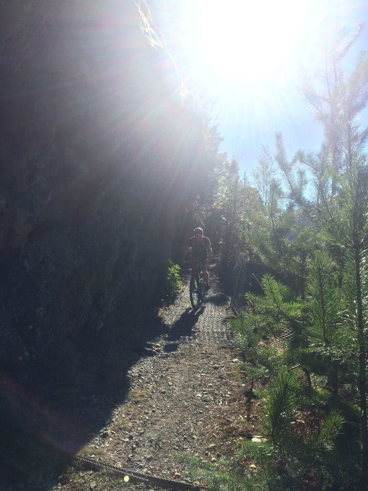
The trail is incredibly versatile, with a mix of quiet road, single track, hard packed non technical trail, dirt road, and a couple stretches on Sea to Sky Highway to keep us appreciating the nice bits. Although it's a lot of road, (maybe about 40%!) it is still worth it, because you get to see some amazing areas that you wouldn't normally see when driving to Whistler. Honestly, the flat and fast terrain was actually a pleasure to run on, after a day of crazy technical elevation running! Different terrain = different muscles... right?

We passed by Whistler Bungee and I arranged an opportunity for us to do a quick jump. While Mike seemed down for whatever, Julien had promised an old teacher to never bungee jump, and Tory seemed very against the idea. To me, it was a dumb idea that you do as a team, or not at all. We dropped the idea, until next time, and kept running.

What we didn't know, is that Julien passed the time by trying to create a race, enticing Mike to try to race Tory and I at the last downhill. And sure enough, we ran a fun run together the whole day, and then during the last downhill, Mike sprinted ahead and dropped us.

We tested the Android version along the way, and the Sea to Sky trail route worked really well. Except for sweaty hands... which made it difficult to press buttons! If you want to try that route, I wrote a custom message along the route that warns you about the two 4-5k gross sections where you have to run on the highway, so you're not surprised! All you have to do is download the app and then in the route store tab, search "Sea to Sky Trail", then hit download. You can also find the Howe Sound Crest Trail route on the app.
This adventure was the first step toward a big vision, to create an amazing alpine sky run from Vancouver to Whistler, linking up the most beautiful mountains in the Sea to Sky Corridor from the Howe Sound Crest Trail. Email us for more if you are interested in out vision!
Happy trails, happy adventuring!


